Просмотр новости
Найдите то, что Вас интересует
 Спутники
 РН
РН SpaceX
 Роскосмос
 NASA
NASA
СпутникиРНSpaceXРоскосмосNASA
Showers and storms moving in Wednesday morning could snarl the morning rush hour commute, with some rumbles of thunder possible as heavy bands of rain move in.
About 6:30 a.m. Wednesday morning, Live Doppler 5 radar showed rain stretching across from Ottawa to Evanston, with heavier pockets filling in near Wheaton, Tinley Park and Hammond.
NBC 5 Storm Team Meteorologist Iisha Scott said heavier bands are expected to spread across the area between about 8 and 9 a.m.
The heaviest rain showers will be in the morning Scott said, with some showers possibly lingering into the late afternoon.
Dew points in the 70s will make for muggier conditions Wednesday, Scott said, with temperatures in the 80s and high humidity.
The rain comes ahead of a cold front off to the north and west, Scott said. By Thursday, “gorgeous” weather is expected.
“Thursday overall looks to be a spectacular day,” Scott said, with lower humidity and sunshine expected. “If you’re trying to ecie what days to get outside, I’ll say Thursday and Friday will be your days.”
Thursday and Friday, temperatures will be in the 70s, Scott said, but rising back into the 80s for the weekend, with higher humidity.
This story uses functionality that may not work in our app. Click here to open the story in your web browser.

Iisha Scott has the latest forecast.
Showers and storms moving in Wednesday morning could snarl the morning rush hour commute, with some rumbles of thunder possible as heavy bands of rain move in.
About 6:30 a.m. Wednesday morning, Live Doppler 5 radar showed rain stretching across from Ottawa to Evanston, with heavier pockets filling in near Wheaton, Tinley Park and Hammond.
NBC 5 Storm Team Meteorologist Iisha Scott said heavier bands are expected to spread across the area between about 8 and 9 a.m.
The heaviest rain showers will be in the morning Scott said, with some showers possibly lingering into the late afternoon.
Dew points in the 70s will make for muggier conditions Wednesday, Scott said, with temperatures in the 80s and high humidity.
The rain comes ahead of a cold front off to the north and west, Scott said. By Thursday, "gorgeous" weather is expected.
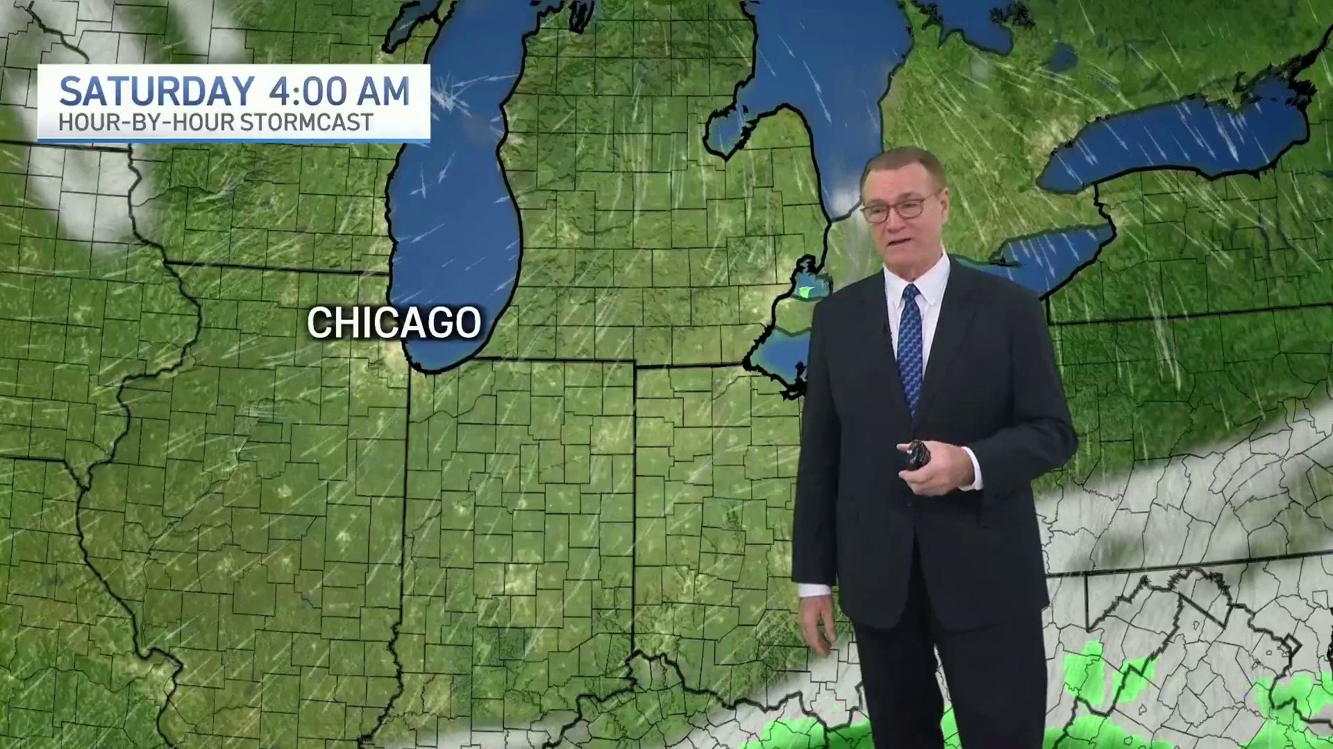
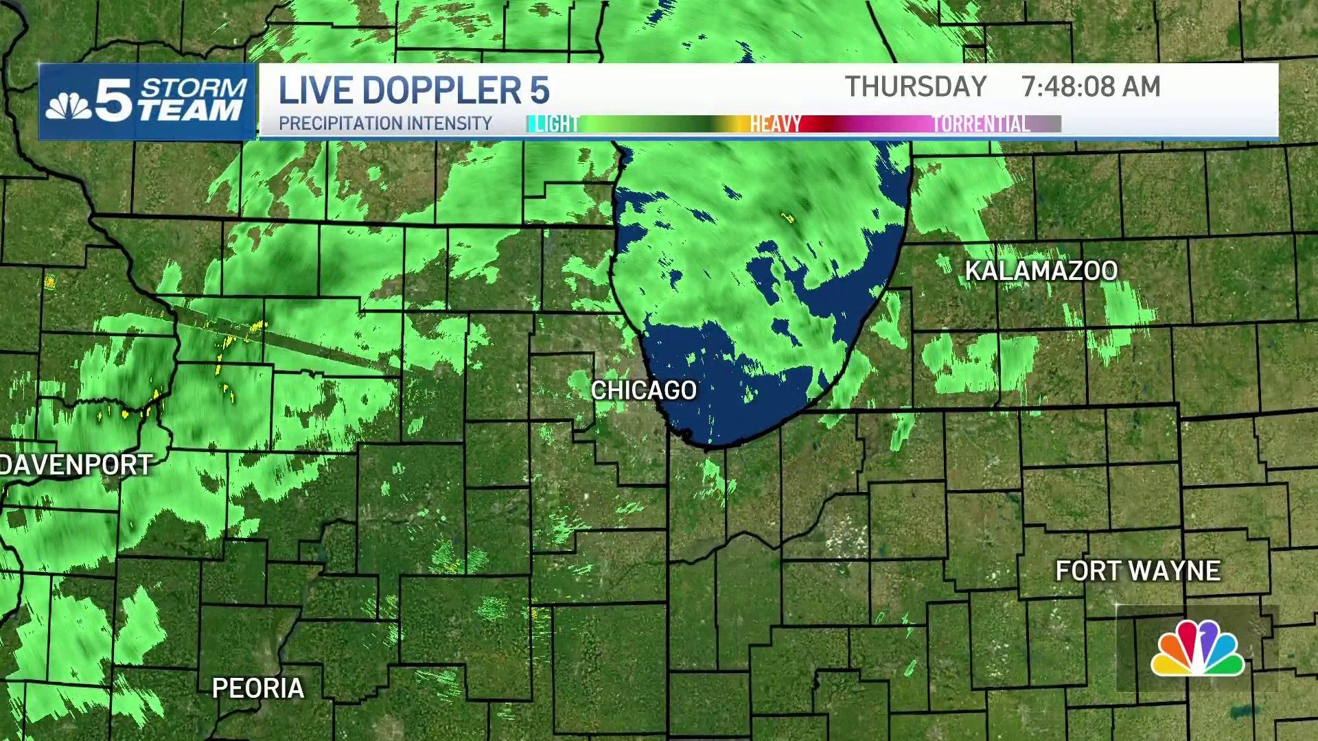
Some rain is expected this morning. Gorgeous weather is expected Thursday and Friday with seasonable temperatures and comfortable humidity. Most of the weekend looks dry, though there is a 20-30% chance of it raining briefly at some point over the weekend. #ilwx #inwx pic.twitter.com/wpHYHiIgF1
— NWS Chicago (@NWSChicago) September 9, 2026
"Thursday overall looks to be a spectacular day," Scott said, with lower humidity and sunshine expected. "If you're trying to ecie what days to get outside, I'll say Thursday and Friday will be your days."
Thursday and Friday, temperatures will be in the 70s, Scott said, but rising back into the 80s for the weekend, with higher humidity.
| # | Наименование новости | Тональность | Информативность | Дата публикации |
|---|---|---|---|---|
| 1 | Chicago weather: Rain and storms nearly every day as ‘unsettled' pattern continues | 0 | 7.88 | 16-09-2026 |
| 2 | Torrential downpours, widespread rain possible in Chicago area | 0 | 4.8 | 16-09-2026 |
| 3 | Ground stop issued for O'Hare, Midway due to thunderstorms; ‘torrential downpours' possible | 0 | 5.98 | 17-09-2026 |
| 4 | Chicago forecast: Multiple waves of heavy rain, isolated storms through Thursday | 0 | 11.32 | 30-09-2026 |
| 5 | Ground stop issued at O'Hare as waves of heavy rain continue | 0 | 8.82 | 01-10-2026 |
| 6 | Chicago forecast: ‘Unsettled' weather pattern moves in with risk of strong to severe storms | 0 | 5.98 | 14-09-2026 |
| 7 | ‘Soaking wet:' Stormy, rainy weekend ahead for Chicago area; severe weather possible | 0 | 6.14 | 18-09-2026 |
| 8 | Chicago weather: Dense fog and low visibility, with multiple rounds of rain on the way | 0 | 8.59 | 29-09-2026 |
| 9 | Scattered showers return this weekend as cooler air moves into the Chicago area | 0 | 7.3 | 12-09-2026 |
| 10 | Ground stop issued at O'Hare Airport due to storms, FAA says | 0 | 7.34 | 31-08-2026 |