Просмотр новости
Найдите то, что Вас интересует
 Спутники
 РН
РН SpaceX
 Роскосмос
 NASA
NASA
СпутникиРНSpaceXРоскосмосNASAThe Gulf has been warming at about twice the rate of the rest of Earth's oceans for more than a decade, according to a meteorologist with Yale Climate Connections.
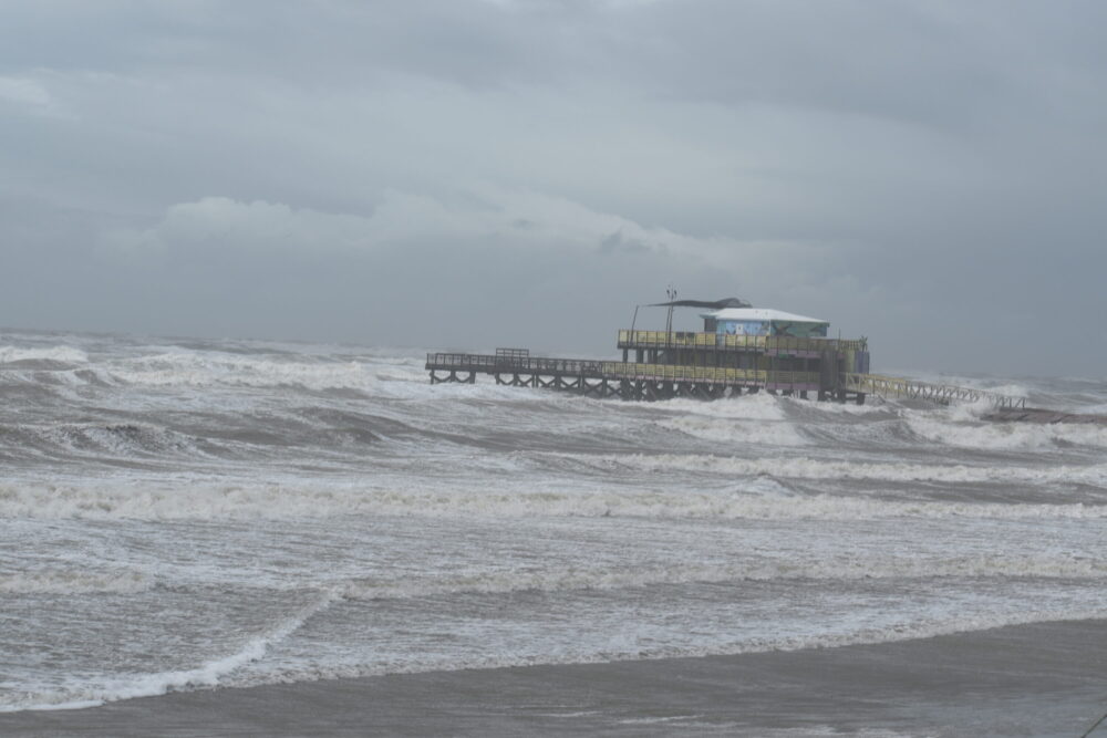
Julianna Washburn/Houston Public Media
Water surface temperatures off the Gulf Coast are measuring about 2 degrees Fahrenheit above average this summer, a heat increase that scientists say could intensify hurricanes in the region.
Robert West, a senior research associate with the University of Miami and the National Oceanic and Atmospheric Administration (NOAA), said this year's El Niño weather pattern has made it harder for hurricanes to form this season. But elevated ocean temperatures could still lead to more intense hurricanes.
"[El Niño] does not mean that one particular storm, were it to form, wouldn't take advantage of the more hospitable sea surface temperature conditions in the Gulf," he said.
RELATED: Federal agency predicts below-average Atlantic hurricane season in 2026
Sign up for the Hello, Houston! daily newsletter to get local reports like this delivered directly to your inbox.
Average ocean temperatures off the Texas coast in August typically range from about 85 degrees to nearly 89 degrees Fahrenheit.
Meteorologist Jeff Masters with Yale Climate Connections said Gulf temperatures are about the third-warmest on record this year and the Gulf has been warming at about twice the rate of the rest of Earth’s oceans for more than a decade.
"The Gulf of Mexico is an isolated system, so when you get a heat wave over the center of the U.S. or the eastern U.S., you can heat up the Gulf rather quickly," he said.
RELATED: Gulf Coast sea level rising at ‘unprecedented’ rate, studies find
Masters said sea temperatures are rising due to a combination of manmade climate change and natural weather variation. Global temperatures are rising due to climate change, he said, and ocean currents that bring warm water from the Caribbean into the Gulf have become more active.
"The weather has natural ups and downs and the winds associated with the weather help drive ocean currents," Masters said. "So when those winds change in a natural fashion or because of climate change, it affects ocean currents as well."
The El Niño weather pattern could also reset temperatures in the Gulf, Masters said.
El Niño refers to a period of weaker trade winds in the Pacific Ocean as warm water is pushed back east toward the Americas, as opposed to a typical season, when trade winds blow warm water west, according to NOAA.
"The last time we had a super El Niño event back in 2015, it kind of permanently reset the climatology of the Gulf of Mexico in the winter so that ocean temperatures since then have been a little over a degree Fahrenheit warmer," he said. "… We could well see a new floor for the sea surface temperatures in the Gulf of Mexico because of this super El Niño event that’s going on."
